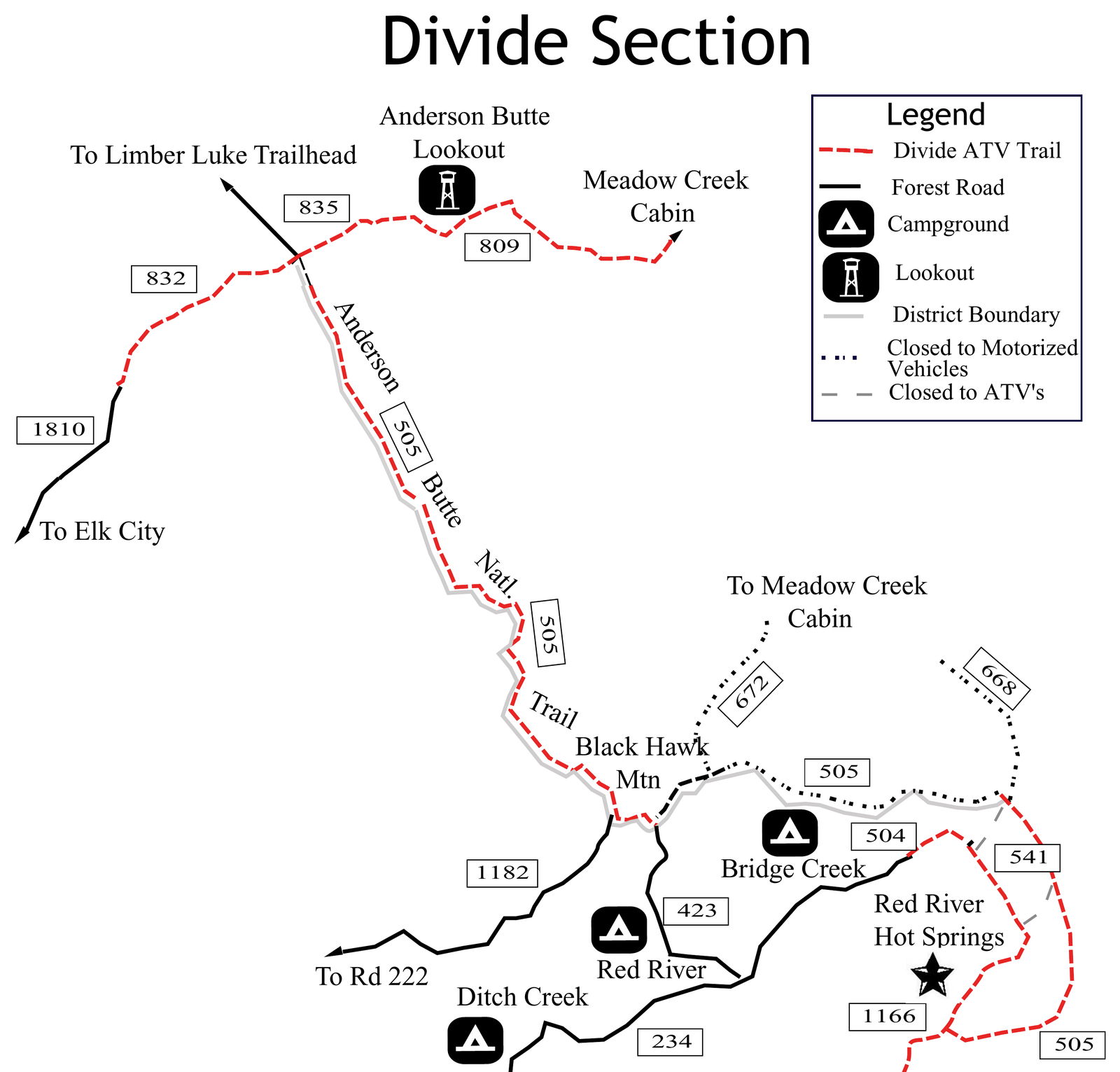
Destination loops with permits, fuel, and legal-route notes - plus the land-use rules that keep those miles rideable. One hub for where to put the tire and whether the gate is still open.
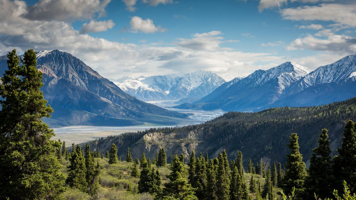
Trails is about where to ride and whether you're allowed to. Destination guides cover loops and regions worth the drive, the Backcountry Discovery Routes that cross states on dirt and gravel, and the planning that keeps a long day from turning into a long walk: fuel range, water, weather, elevation and the tools to carry.
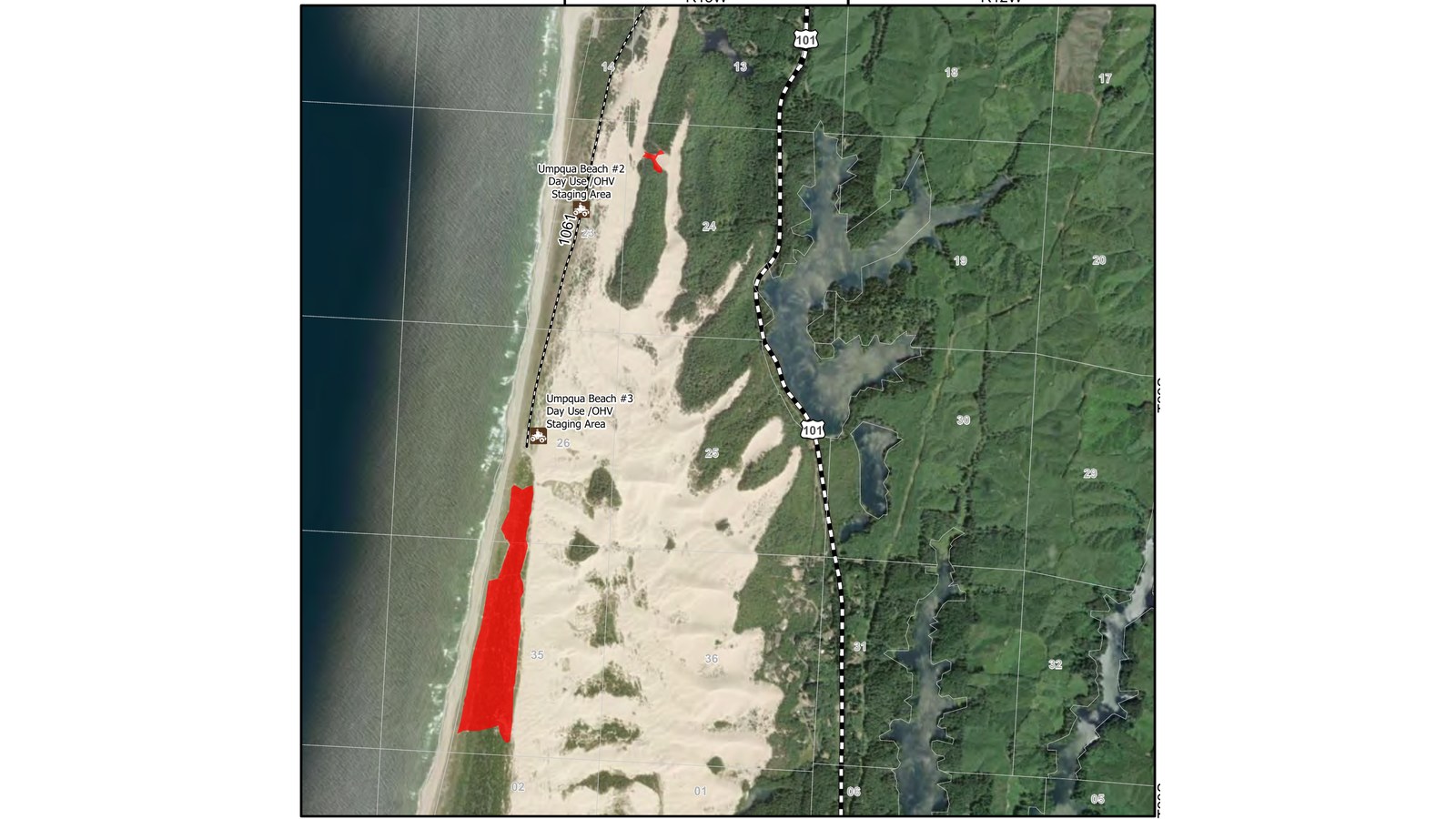
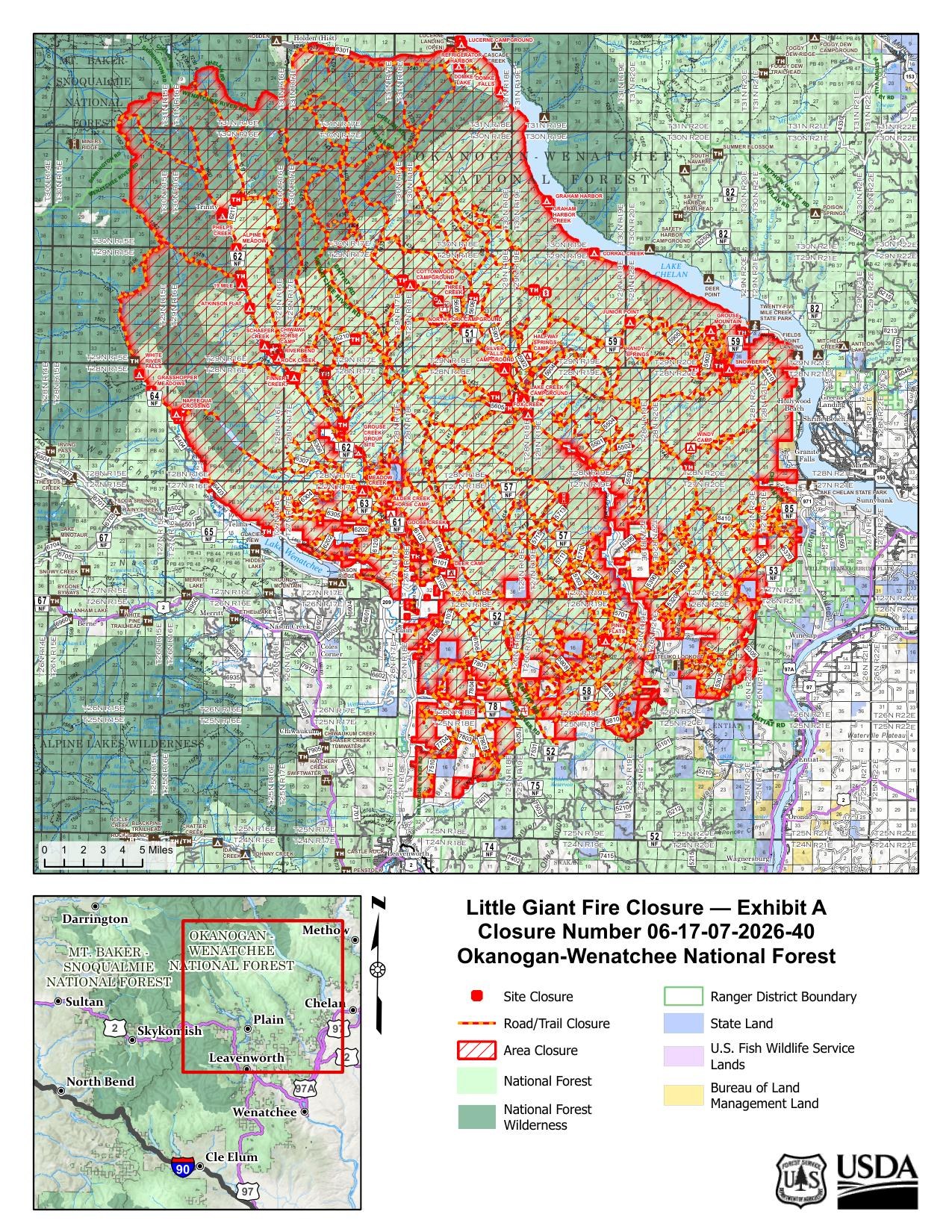
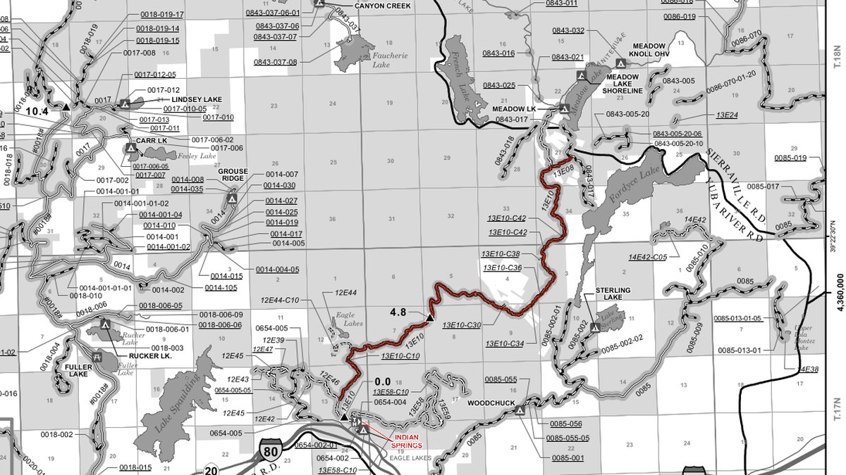
Access is the other half. Public land rules decide which roads and trails are open to motorcycles, and they change. We explain how to read a Forest Service Motor Vehicle Use Map, what travel management decisions mean for riders, and when fire closures or new rules shut down routes people have ridden for years. Those stories come straight from the agency orders, maps and notices, and we link them so you can check the current version.
We never host GPX tracks. For the Backcountry Discovery Routes, the official maps and tracks come from the BDR organization, and their route updates take priority over anything you read here. Before any ride, confirm the route is legal for your vehicle on the current map and check for closures with the local ranger district or BLM field office.
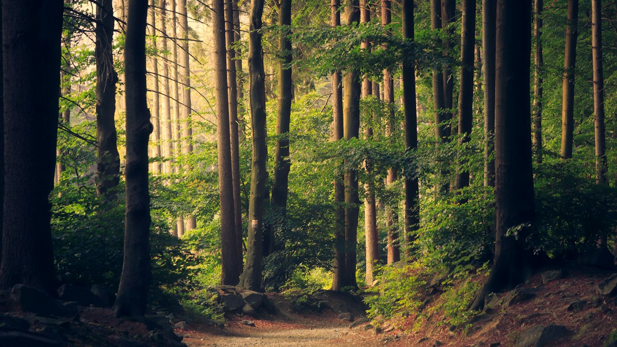
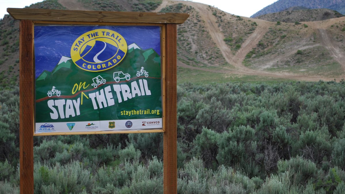
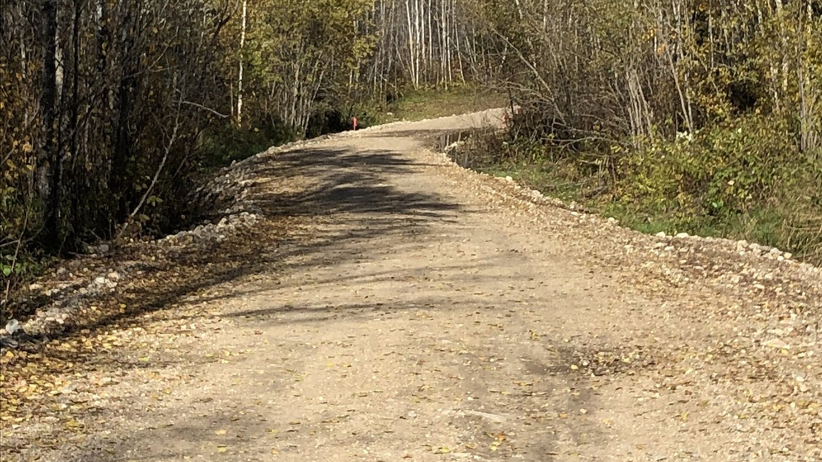
Ride it the way you'd want to find it: stay on designated routes and pack out what you pack in.