
How Dual-Sport Riders Read an MVUM (and Still Check Route Updates)
A practical dual-sport checklist for Motor Vehicle Use Maps: what the symbols mean, why “usable” dirt isn’t the same as legal, and how to cross-check RideBDR Route Updates plus local ranger notes before you put a knobby down. Not legal advice.
 Maya TorresSep 14, 2026 · 7 min read
If you ride plated dirt on National Forest System roads, the boring map is the one that keeps you out of a ticket. The Forest Service’s Motor Vehicle Use Map — the MVUM — is the designation sheet that says which roads, trails, and areas are open to which motor vehicle classes. A two-track that looks rideable on satellite or in a buddy’s track log is not the same thing as a route shown open on the current MVUM.
What an MVUM actually is
Per the Forest Service, an MVUM displays National Forest System routes and areas designated as open to motorized travel under the Travel Management Rule. It also shows allowed uses by vehicle class (highway-legal vehicles, vehicles 50 inches or less, motorcycles only, and so on), seasonal allowances, and other travel rules. Routes not shown on the MVUM are not open to public motor vehicle travel. Designated routes may not be signed on the ground — you are expected to carry and use the map.
MVUMs are black-and-white legality maps, not topo sheets. Use them alongside a Forest Visitor Map, a GPS basemap, or another navigation layer so you can find yourself *and* stay legal. Over-snow seasons have a separate OSVUM when applicable — don’t assume a summer motorcycle designation covers winter sled or vice versa.
How to pull the right map the week you ride
National forests and grasslands post MVUMs online (typically under Visit → Visitor Maps and Guides on the local forest site) and often stock paper copies at visitor centers. Maps update when travel decisions or corrections land. Download or print a fresh copy for the unit you will ride — last year’s PDF in a glove box is how people get surprised at a gate or a citation.
Start at the Forest Service maps hub and the MVUM FAQ, then drill to the forest or grassland you actually plan to cross. If a BDR or dual-sport loop spans multiple forests, you need the MVUM set for each unit, not one “good enough” neighbor map.
Symbol literacy for dual-sport and motorcycle riders
Read the legend before you zoom the GPS. Common designation families include roads open to highway-legal vehicles only, roads open to all vehicles, trails open to vehicles 50 inches or less (ATVs and many motorcycles), trails intended for full-size 4x4s, and motorcycle-only trails. Seasonal windows matter: a route open May 1–November 30 is closed to public motor use outside that window even if the dirt looks perfect in April.
Match your machine to the class. A street-legal dual-sport on a highway-legal NFS road is a different permission story than an unlicensed dirt bike on a motorcycle trail. If your class isn’t on the symbol for that route number, treat it as closed to you — inventing “it was open last year” mid-ride is how access fights start.
Cross-check #1: RideBDR Route Updates
When your trip follows a Backcountry Discovery Route, the MVUM is still the Forest Service legality layer — and RideBDR’s Route Updates is the expedition-layer change log. Temporary closures, permit requirements, washed-out connectors, and “re-download tracks” notes show up there first. Pair the official route page on BDR Routes with a fresh GPX from Download Tracks the week you leave. Printed Butler maps and older track files can diverge from what land managers and RideBDR currently publish.
Cross-check #2: local ranger notes
Call or check the ranger district page for fire closures, special orders, reservation / permit stacks, and temporary road work that may not yet appear on a third-party GPS overlay. A district note that “NFSR 123 is closed for timber hauling through Saturday” overrides your optimistic track. Write down the order number or URL you used — if you’re documenting a trip report later, primary sources beat memory.
A pre-ride legal-route checklist
1. Identify every National Forest / grassland your day or loop crosses. 2. Download the current MVUM(s) for those units; confirm vehicle class and season for each planned route number. 3. If it’s a BDR or published dual-sport route, skim RideBDR Route Updates and re-download tracks. 4. Check district alerts for temporary closures, fire restrictions, and permits. 5. Carry the MVUM (paper or offline PDF) — don’t rely on cell coverage to prove a designation mid-canyon. 6. Stay on designated routes for your class; don’t “connect the dots” across undesignated two-track just because the dirt is there.
What this article is not
This is rider education, not legal advice, and it does not invent forest-by-forest reopenings or claim any specific road is open today. Travel Management rulemaking and local map revisions can change designations over time — the map you hold for *this* trip is the one that counts. When in doubt, stay on the designated line, ask the district, and treat social-media track dumps as entertainment until they survive an MVUM + updates check.
Rider takeaway
Legal dual-sport miles are a three-layer problem: Forest Service MVUM for designation, RideBDR Route Updates (when you’re on a BDR) for expedition changes, and local ranger notes for the week-of surprises. Pull all three before the trailer hitch clicks — the GPS breadcrumb is navigation, not permission.
Sources
- Forest Service Maps — Motor Vehicle and Over Snow Vehicle Use Maps — US Forest Service · accessed 2026-09-14T19:15:00-04:00
- Motor Vehicle Use Map (MVUM) Information and Frequently Asked Questions — US Forest Service · accessed 2026-09-14T19:15:00-04:00
- BDR Route Updates — Backcountry Discovery Routes · accessed 2026-09-14T19:15:00-04:00
- BDR Routes index — Backcountry Discovery Routes · accessed 2026-09-14T19:15:00-04:00
- Download BDR GPS Tracks — Backcountry Discovery Routes · accessed 2026-09-14T19:15:00-04:00
FAQ
- If a road looks open on satellite, can I ride it?
- Not based on appearance alone. On National Forest System lands under Travel Management, public motor vehicle use follows current MVUM designations for your vehicle class and season. Routes not shown on the MVUM are not open to public motor vehicle travel.
- Does a BDR GPX override the MVUM?
- No. RideBDR tracks are trip-planning resources. Forest Service MVUMs (and other land-manager rules) control where public motorized use is designated. Always cross-check Route Updates and the current MVUM for forests you cross.
- Is this legal advice?
- No. This is general rider education summarizing Forest Service MVUM concepts and RideBDR update practice. Local designations, special orders, and state rules can differ — verify primary sources for your trip.
Related

Forest Service Opens Comment on Travel Management Rewrite Favoring More Motorized Access
Federal Register NOI (Aug 24, 2026; 91 FR 54686) starts EIS/rulemaking to revise 36 CFR part 212 toward an open-unless-closed access presumption and annual closure review. Comments due Sept 23, 2026 on Docket FS-2026-0100. Existing MVUMs stay until locally revised — not legal advice.
Rider’s Guide: What Flipping Closed-Unless-Open Could Mean on National Forests
Wyoming Public Media (August 25, 2026) and Missoula Current summarize the Forest Service intent to revise the Travel Management Rule toward greater motorized and e-bike access. Existing designations remain until revised — here is the dual-sport FAQ version of the Federal Register NOI.

Street-Legal Dual-Sport vs Dirt Bike: What Actually Differs
A clear category explainer: plated dual-sports vs off-road-only dirt bikes — lighting, mirrors, emissions, weight, tires, and where each tool wins. Public category facts only; not a ridden shootout.
AMA and BDR Sign MOU to Defend Adventure and Dual-Sport Access
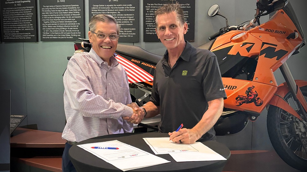
On September 9, 2026 the American Motorcyclist Association and Backcountry Discovery Routes signed a memorandum of understanding to coordinate advocacy, route stewardship, rider education, and community work for adventure and dual-sport riders — the people who actually burn forest-service connectors and BDR days.

Stop Riding: Husqvarna & GASGAS Braktec Rear Caliper Recall (CPSC + NHTSA)
CPSC recall 26-710 covers ~21,040 U.S. 2021–2024 GASGAS and 2022–2024 Husqvarna off-road bikes whose Braktec rear caliper can crack or break. Related NHTSA 26V443 covers ~6,257 plated FE S / ES dual-sports. Stop riding if affected; free authorized-dealer caliper (+ bracket) repair — verify VIN on official checkers.
Dual-Sport Owners: NHTSA 26V443 Owner Letters Begin for FE/ES Rear Caliper Recall
NHTSA campaign 26V443 covers certain 2022–2024 Husqvarna FE 350S/501S and 2024 GasGas ES 350/ES 500 dual-sports. Owner notification letters were expected to mail beginning September 2, 2026; free caliper replacement is the remedy.
Newsletter
Trail Roamer daily brief
One list, one brief: trail news, race results, recalls, and gear that earned it — not separate race vs weekend lists.